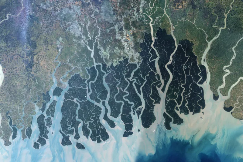
Sundarbans from Space

The Sundarbans, a UNESCO World Heritage site at the mouth of the Ganges, Brahmaputra, and Megha Rivers in the Bay of Bengal fronting India and Bangladesh is a network of muddy islands and waterways that extends roughly 3,860 square miles (10,000 square km), two times the size of the state of Delaware.

