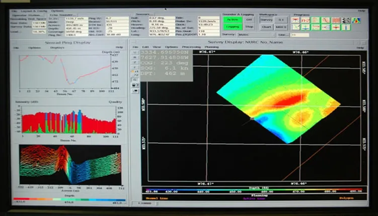
Multibeam Sonar Screen

Views of each sonar beam appear on the left side of this computer screen image while the path being mapped by the ship appears on the right. These 3-D color images enable ocean scientists to locate areas where deep-sea corals might be found and to learn more about the conditions under which these corals live. Explore more in the multimedia feature "Coral Gardens of the Deep Sea."

